
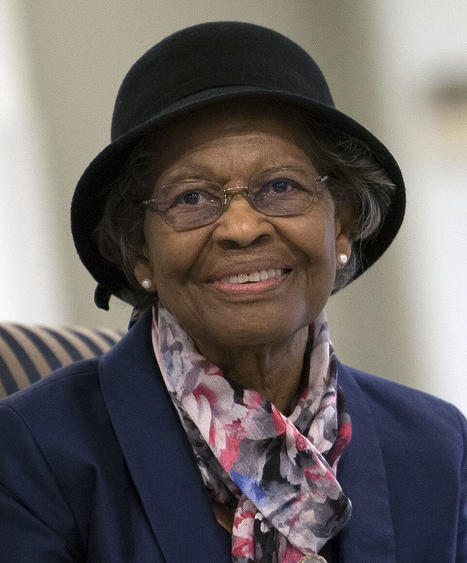
The contribution
Working at the U.S. Naval Weapons Laboratory, West used satellite observations and algorithms to model Earth’s shape. Gravity, tides and other forces distort that shape, so a simple sphere is insufficient for precise geodesy.
The U.S. Air Force records her programming of the IBM 7030 Stretch computer during the mid-1970s and 1980s to refine a geoid model associated with the eventual GPS orbit. Her contribution was mathematical and computational: the reference surface against which position can be measured.
GPS was developed by many researchers, engineers and institutions. West’s role in geodetic modelling is a specific, documented contribution, rather than a claim that she single-handedly invented the whole navigation system.
Source record
Read the on-site evidence record ↗
U.S. Air Force — Gladys West’s geodetic modelling ↗
Filed 20 November 2026 / Pearce Robinson
Next: Dr. George Carruthers